
Back home, I check on the e-mapy service (which is excellent - it covers the whole of Poland and shows every separate plot). This shows an ambiguous situation, where according to data from the gmina (third-order administrative division) that this is a road (shown below with the two 'no entry' signs at either end of it). But the fine light-blue lines show that this road does actually run along and through plots that are privately owned. Can anyone tell me what the legal status really is?

Below: the same, but on the Google Earth satellite view.

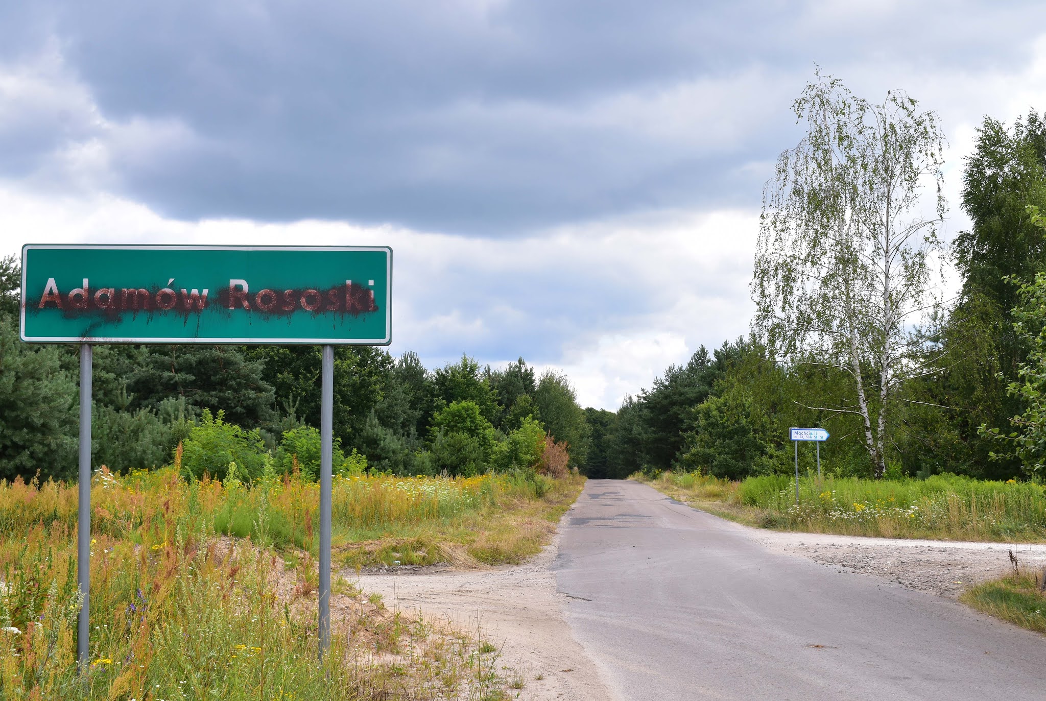
I am still puzzled by the naming of settlements around here. According to chynow.e-mapa.net, the area to the immediate east of Jakubowizna is called Nowe Winiary, but I cannot find any houses bearing a number assigned to such a settlement - nor does Nowe Winiary appear on Google Maps. On the ground, the local signage refers to the area as Machcin II (and indeed Winiary on the the e-mapa is signed as Machcin I).
UPDATE 31 OCTOBER 2021: Situation unchanged, unresolved, signs still there.
This time last year:
This time two years ago:
Opole in the late-October sunshine
This time three years ago:
Work begins in earnest on the Karczunkowska viaduct
This time five years ago:
Sublime autumn day in Jeziorki
This time six years ago:
CitytoCity, MalltoMall
This time seven years ago:
(Internet) Radio Days
This time eight years ago:
Another office move
This time nine years ago:
Manufacturing a City of Culture
This time ten years ago:
My thousandth post
This time 11 years ago:
Closure of ul. Poloneza
This time 12 years ago:
Scenes from a suburban petrol station


No comments:
Post a Comment