Last night I was returning home from the airport. "Jeziorki" I informed the taxi driver. "That's off Puławska, turn right into Karczunkowska?" he asked. It's rare for a Warsaw taxi driver to have heard of us here in Jeziorki - but this one did (he was from Pruszków, by the way). But usually they shrug, ask for directions or tap the street name into the GPS.
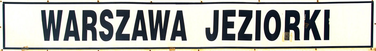
Jeziorki, until quite recently, when the new-style blue-and-red street signs went up (
here and
here, replacing the old white-on-blue ones, was a rather indistinct area that blended indistinctly with Pyry, Dąbrówka, Dawidy and Grabów. And within this indistinct, inchoate, area, lots of different place names. Dawidy Poduchowne. Karczunek. Jeziorki Polskie. Jeziorki Niemieckie (!). Nowe Jeziorki. Zgorzała Nad Jeziorem (!!!). This last one, incidentally, is where, according to a recent atlas (Warszawa Plan Miasta Skala 1:20 000, Wydawnictwo Kartograficzne), we live. Almost as if every farmstead was its own, separate hamlet with its own separate name - and its own separate history. Every local map I'd look at would have different place names scattered across this small locality.

Ul. Trombity: That would be Zgorzała nad Jeziorem?
But now the City Hall is imposing order on place names. Streets that were once in Pyry (posh before the war, says my mother-in-law) are now in Dąbrówka (not so posh). Jeziorki Polskie is now Jeziorki Północne (that's everything between ul. Baletowa and the Metro's umbilical cord), while Nowe Jeziorki is now Jeziorki Południowe (that's us, south of Baletowa, down to Warsaw's city limits). Old place names are disappearing, remembered only by the original locals, a dwindling minority around here, and historians of local topography.
But the upside is, surely, that in a few years time, when I get into a taxi the chap will know what I'm referring to when I say: "Jadziem Panie Jeziorki!" .
This time last year:
On the Road to Białystok
Eddie and famous Polish 3rd December birthdays
Where the place, upon the heath...
Before the double deckers and the FLIRTS - the Radom line
The most widely Googled page of my blog, ever.


8 comments:
When I was a kid, we never used "Jeziorki" - this was always "jedziemy na Dawidy" - i.e. to visit my grandma and grandpa.
You've missed a few nice days last week :-)
Best wishes,
Neighbour,
Bingo! The same as I said.
Michael,
I think, that there should be at least three distinctions. First, names of areas, that before the war have belonged to former landlors. Second, names of local settlements, that have being established after the war. And third, some of new names that have appeared since late 80.s You may obviously continue of this topic.
But, I do have some MORE fascinating theme. Try to imagine a coal loco passing slowly ahead on Puławska street. Can you? This is more wonderful theme, look here:
http://pl.wikipedia.org/wiki/Grójecka_Kolej_Dojazdowa
http://www.kolejka-piaseczno.com/
http://www.kolejka-piaseczno.com/pol/img/mapa_1983_male.jpg
P.S. Michael, me Marcin is a same person, that e-mails with you as marcin_.....@......pl
Michael,
look here:
http://wask.czuby.net/kolejRozkl.php?id=grjkd&rozkl=618-1dubowski.jpg
Just amazing, getting for approx. 20 mnts. from Dworzec Południowy (nowadays, Metro-Wilanowska) up to Dąbrówka (that is where Volvo dealer is located nowadays) in summer 1958. So, a loco was like this:
http://www.kolejka-piaseczno.com/pol/img/tresc/parowoz.jpg
This timetable is quite amazing! I'm aware of both the Góra Kalwaria and Nowe Miasto-nad-Pilicą lines, but had never seen this, complete with list of stations. Some while back I bought a second-hand copy of a PRL-era book called 'Warszawskie Ciuchcie'; the pics suggest that the Px48 loco (as in your second picture) was not used on the line up to Dworzec Południowy. The Px48 currently stabled in Piaseczno narrow gauge station is relatively big with its own tender. The engines running up and down Puławska were 0-6-0 tank engines.
I'd love to see a pic of Dąbrówka Wąsk. station!
By the way.
There are some interesting old shots of Grójecka-Ciuchcia:
http://www.ursynow.org.pl/GaleriaHistoryczna/GaleriaHistoryczna.htm
...and old Warsaw's City Maps. Nice view of changing Jeziorki:
http://www.trasbus.com/planywarszawy.htm
Personally, I prefer the old, historical names of the areas and streets. New MSI-system lie! =)
Look, here:
http://www.trasbus.com/planywarszawy/1961/21.jpg
there isn't Żmijewska street, but
here:
http://www.trasbus.com/planywarszawy/1962/4444.jpg
that is. So this might suggests that street was used as a road up-to the Rampa, as the last one was built-up at egde of 50.s and 60.s
Why those stupid communists cut this
http://www.trasbus.com/planywarszawy/1973/5055.jpg map right here? Obviously, I did have a such a map.
What a WEALTH of brilliant stuff! KG - I shall be spending hours pouring over these maps. We've got one or two communist-era maps of Warsaw like this, but there's so much here. Thanks for the links!
Marcin - interesting observation about ul. Żmijewska - I always wondered what it was there for (other than just a farm track).
You welcome!
But I have another observation about ul. Żmijewska.
Look, how the street was changing position through all of these years!
http://www.trasbus.com/planywarszawy/1978-1979/4358.jpg
http://www.trasbus.com/planywarszawy/1982/5158.jpg
Post a Comment